

Dark Skies Herefordshire
Dark Skies Herefordshire is a CPRE Herefordshire initiative, supported by volunteers and community groups, which aims to conserve and enhance dark skies across the rural landscape of Herefordshire, raise people’s awareness of Artificial Light At Night (ALAN) and the need for Responsible Outdoor Lighting At Night (ROLAN).
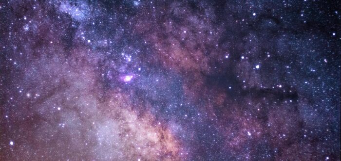
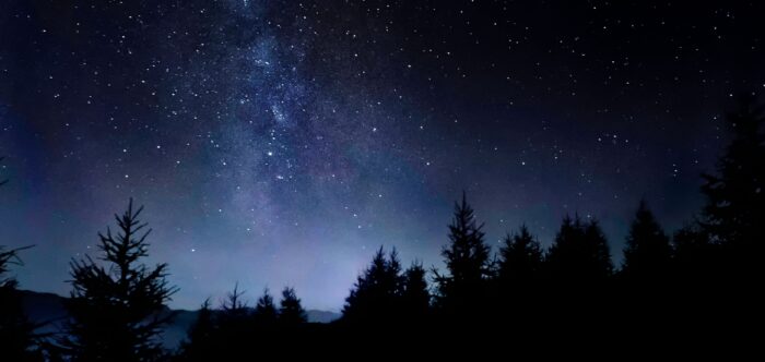
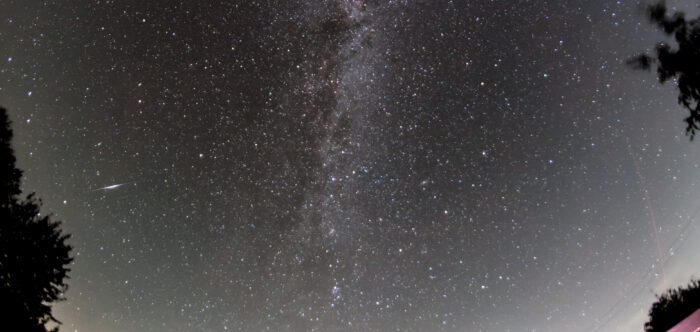
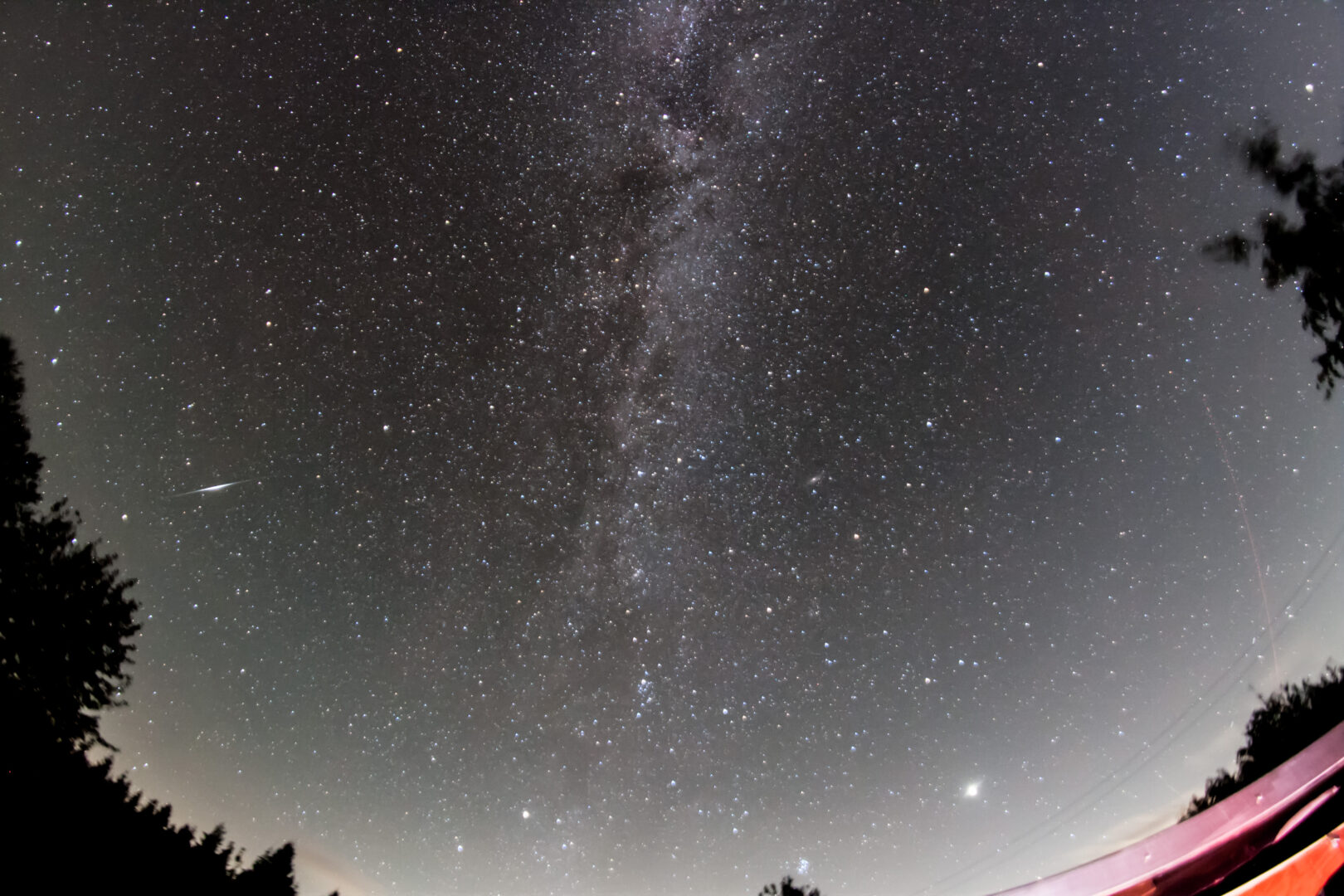
Why is Light Pollution a Problem?
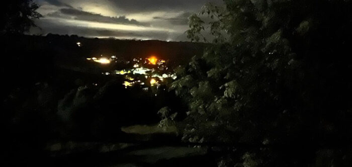
Light pollution is an intrusion of Artificial Light At Night that keeps you awake because a light source shines through your bedroom window and stops you from sleeping, obstruct a clear view of the night sky and/or interferes with the natural night-time patterns of humans and wildlife.
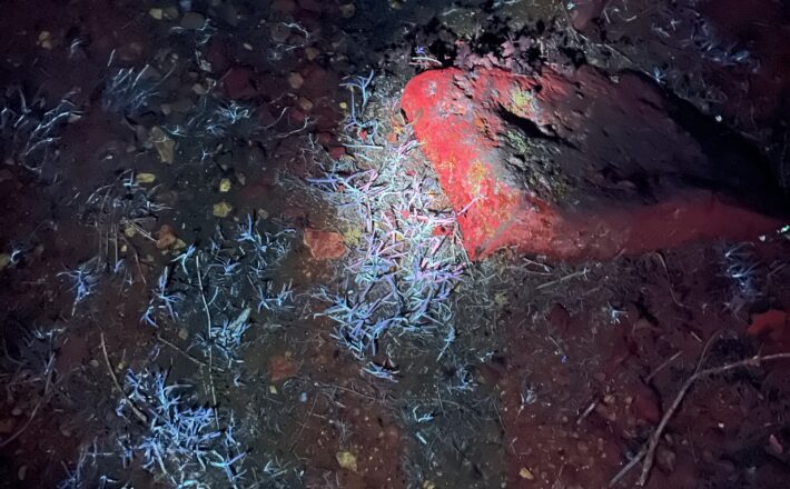
According to BugLife: “Two-thirds of invertebrates are partially or wholly nocturnal, and even diurnal species can be impacted by the loss of their night. The situation is so serious that light pollution is reducing the nocturnal pollinator visits to flowers by 62% in some areas”. If plants aren’t pollinated by insects – then there will be no fruit and vegetables for humans or other animals to eat.
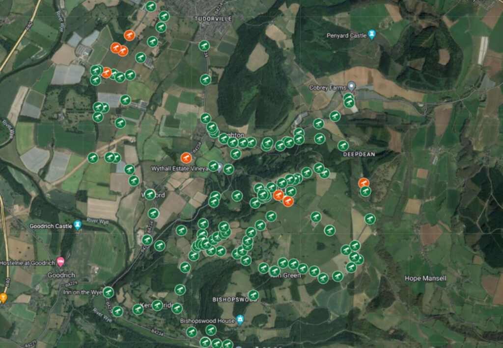
In 2016, CPRE released the most comprehensive satellite maps ever of England’s light pollution and dark skies. Herefordshire emerged as the county with the darkest skies on average. However, when examining which counties boast the highest percentage of pristine night skies untouched by light pollution, Herefordshire slipped to only the third darkest. You can explore the detailed map yourself here.
What can we all do to help: Put the right light in the right place at the right time…
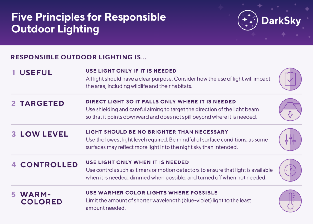
You can download a copy of this 5 Principles of Outdoor Lighting on our Dark Skies Herefordshire postcard HERE.
Join Dark Skies Herefordshire
CPRE Herefordshire wants to conserve and enhance its dark skies. We have an exciting citizen science project that is providing training for local Parish Councils and other community groups across Herefordshire to carry out light pollution surveys in their local communities. This information provides us with much needed evidence to inform local, county and national policy developments and strategies on light pollution. Data collected will also enable Parish Councils to evidence their Neighbourhood Development Plans, Dark Skies policies and practice. Contact us for more information or how you can volunteer. If you would like to find out more or volunteer for DSH please email Barbara – volunteer@cpreherefordshire.org.uk.
See below to download our light pollution survey, what is good lighting leaflet, walkabout survey, useful information leaflets, biodiversity action plan, plus KS1 and KS2 seeing stars lesson plans…..